

Mirror:
Source: https://t.me/pravdaGerashchenko_en/29233
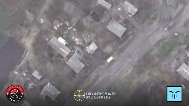
Russian electronic warfare station “Borisoglebsk-2” worth about $200 million was destroyed.
The 58th Brigade’s Special Forces Aviation Unit, in cooperation with the 129th Brigade’s aerial reconnaissance group, reported the destruction of the enemy’s “Borisoglebsk-2” electronic warfare complex.
Operational Headquarters “North” confirmed the successful defeat of the targets.
Glory to Ukrainian Defenders!
Tried to check the quite high value of 200 Million dollars, and it seems it is about right 😯😁!
They have only some two handfuls of them too, great job!
I’ll never get tired of watching aerial drones blow up anti-air and anti-drone systems.
Side note, for the second there I thought the drone operator was dropping the charge on the vehicle driving on the road, leading it with the drop time, I was about to be hella impressed. I’ve seen them do it to runners, but vehicle speeds would be harder.
Got me thinking though: Why doesn’t the drone calculate its own altitude and give that info to the operator on the HUD? That would be nice to know, for the operator. Any gps unit knows where it was launched from, and the elevation at that location can be looked up, and then can calculate how much it has ascended since then.
Operator with experience or even just good at mental math could then look at the altitude, and go “yea, that’s like a 5 second drop time”. This would improve accuracy.
Altitude is only a small part of a dropped munitions flight path. You’d also have to factor munitions weight, air speed and direction, wind resistance of munition, etc.
It’s basically possible if you built a system from the ground up… but is very hard to implement when you’re using 100$ drones with RPG warheads strapped to em (oversimplification but you get what I’m saying)
The thing that surprised me about it initially is the regular commercial drones I’ve seen irl did have altitude readouts. The thing that makes altitude special, where a lot of those other factors are not, is the altitude is actually very easy to figure out on the cheap, and will be a big factor.
So if it’s the easy and cheap to figure out, you can give it to people, and giving it to people is better than not giving it to people, because having it is better than not having it.
It’s not like you have to calculate an exact “fall path” just to make small improvements to your accuracy, right?
True. I wouldn’t be surprised if they started to implement a basic rudimentary drop time into the software
Panishers take ALOT of training to do, but it carry quite high load on long distance, also with latest version they have been jam-proofed a bit.
Since GPS uses 3-4 satellites for data, it can also provide altitude reading.