
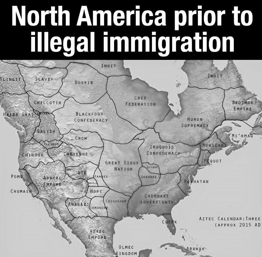
late edit: DISCLAIMER: The pictured map is not actually a representation of the territories before colonisation. It’s a hypothetical map of what countries there might have been had the continent not been colonised, thus all the names and borders are fictional and have never existed.
For good actual maps, check out native-land.ca.
i mean a trivial solution to this is to just use colours with a soft gradient at the edges, you have a rough outline but it’s clear that there is no hard border