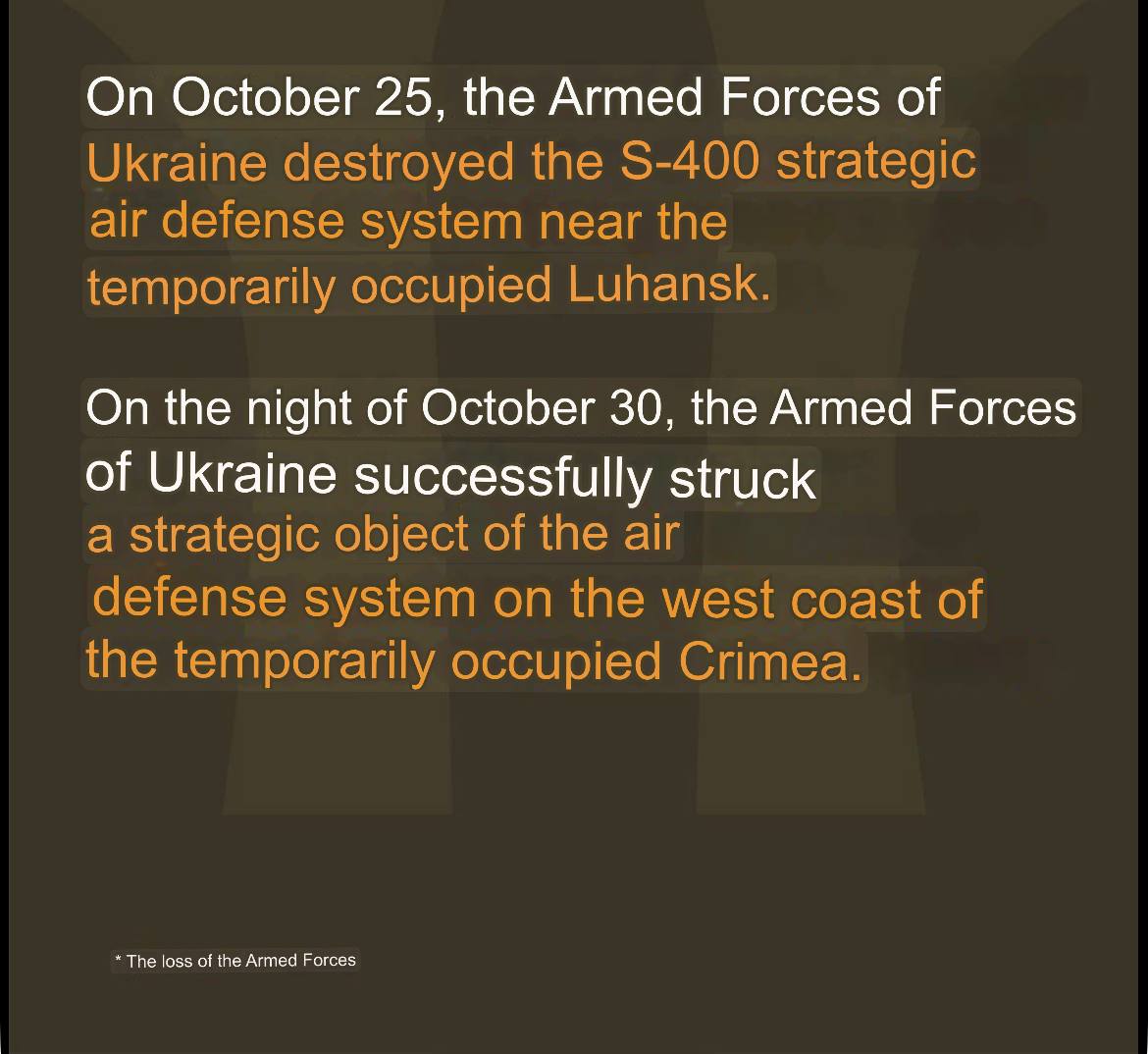
Wilshire to Ukraine · edit-21 year agoOn Oct 25th, the AFU destroyed an S-400 system near occupied Luhansk. On Oct 30th, a strategic object of the air defense system on the west coast occupied Crimea was hit.imagemessage-square3fedilinkarrow-up145arrow-down10file-text
arrow-up145arrow-down1imageOn Oct 25th, the AFU destroyed an S-400 system near occupied Luhansk. On Oct 30th, a strategic object of the air defense system on the west coast occupied Crimea was hit.Wilshire to Ukraine · edit-21 year agomessage-square3fedilinkfile-text
minus-squareWilshireOPlinkfedilinkarrow-up2·1 year agoThey reportedly used ATACMS. Hopefully we’ll have some satellite images soon.


They reportedly used ATACMS. Hopefully we’ll have some satellite images soon.