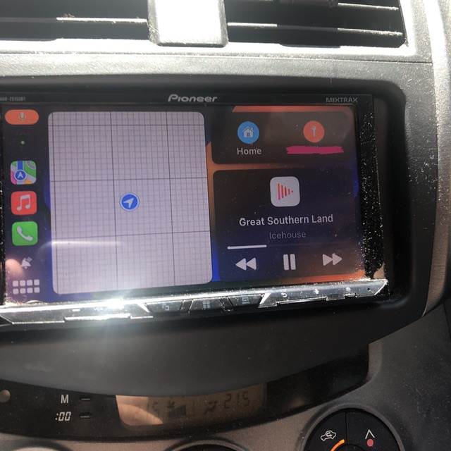
If I choose to drive on anything except the freeway, I get told the road is closed, drive it anyway (the road is, after all, not closed) and spend the entire journey with a mapless screen. Great 4G+ reception the whole way. Happens all over NSW. Weird.
Yeah I’ve seen it happen a couple times on National Route 1 (that’s the route of highways that go through every major coastal city in Australia). The mapping data is, unfortunately, not as good as it should be.
I blame our government more than the apps. The government probably notified Apple and Google that the road was closed for bridgeworks or something like that and then and never sent a followup when the work was finished. Eventually they’ll figure out out and update the map (there’s a feedback feature built into both apps, which will accelerate the process).
… or you could use one of many apps that are based on Open Street Map. It’s sort of like Wikipedia for maps, and it works really well on dirt roads that Apple/Google/etc don’t bother to map at all. They work fine on tarmac too butt he estimated arrival time is rarely very good since those apps don’t collect data on how fast people normally drive though a sharp corner or how heavy the traffic is at 7am on a school day. The good thing is if you notice the map is wrong, you can just fix it. Won’t happen very often though, because millions of other people are already doing that. The commercial mapping companies would go bankrupt if they hired as many people as there are volunteering their time for free to edit Open Street Map.