
- cross-posted to:
- buyeuropean@feddit.uk
- internetisbeautiful@feddit.de
- foss@beehaw.org
- cross-posted to:
- buyeuropean@feddit.uk
- internetisbeautiful@feddit.de
- foss@beehaw.org
Currently there’s only 3 big players when it comes to maps. You’ve got Google, Apple and Microsoft.
Let’s try to make OpenStreetMap the best map there is. Go grab StreetComplete and start mapping your surroundings when you’re out and about.
All the data is under a public license and managed by a non-profit foundation in the UK.
It’s very easy to get started, and quite addictive.
You must log in or # to comment.
I made 3 edits to things in my local neighborhood on Open Street Map this morning
There is a cool app called StreetComplete if you wanna gameify your editing experience a bit :Dhttps://f-droid.org/packages/de.westnordost.streetcomplete
Im blind and skipped right to the comments before reading the post
There should be something for grabbing store information too. Like phone numbers, websites and open hours
Open hours is a task in StreetComplete, so that’s covered. For additional metadata you’d probably have to use something like OrganicMaps and be logged in there. It’s quite possible to add the data if you want to, even without going to the computer and doing it from there.
Just noting that while Organic Maps does allow a pretty good level of editing, it’s not a feature complete map editor. There are many others apps/sites that are purpose-built for editing if you need more functionality. i personally use Vespucci on Android.
Vespucci is not very Noob friendly unfortunately. StreetComplete does a really good job at being accessible
Agreed, however getting 100-1000 or so people using street complete would do a lot more than getting one to use Vespucci or Rapid.
Not that I object to those tools. Looking more to spread awareness and engagement.
Totally agree with you, I just think we should be forthright about each tool’s capabilities.
In my personal experience, after a few days of use (going down my block adding stores) I realized that there were certain things I couldn’t add/change in OrganicMaps so I needed a different tool.
That said, it’s still the first tool I reach for since it’s so easy and user friendly.
Baby steps. Ease them into it and before you know it they’re spending hours updating their local area in Vespucchi or Rapid. 😁
Yep. I’ve been mapping for OSM since back in 2007. When I started, there were a few Autobahnen and major roads and the rest of my area was a white, empty triangle, 50km in every direction. Now I’m mapping wastebaskets and surfaces and width of residential streets. Not that I’m complaining. OSM is the most usable map material for anything related to hiking, biking and walking places, at least here.
Not so great for driving though, because no major navigation app based on OSM uses crowd sourced movement data - hence, no traffic jam prediction. Still need Google Maps for that.
At least https://abetterrouteplanner.com/ seems to be using OSM data, but while their charging planning is excellent, the traffic predictions are unusable. Works well for long distance travel, really does, but when I’m close to an urban center I always switch to Google Maps.
Magic earth does traffic. Linked in another post. Not open source, but at least it’s European.
In my opinion, depending on the exact location, OSM is already much better than other map providers. But continuing to improve it obviously is still a great idea.
I really want OpenStreetMap to allow us to run an app that gives them GPS data so we can get some open traffic data. I’m using Waze for that, but Google bought them too.
That’s MagicEarth. It’s not open source, but it is based on Openstreetmap data and it has traffic and obstacles in it, as reported by other users. The company is also based in the EU.
The point of this would be that it would be an open data platform. What’s the point of me giving this data to another closed ecosystem?
The idea is to improve OSM so that ME becomes better. With good OSM data anyone can build an open source social routing tool, a la waze, on top of it.
Some people might also trust a small European firm more than they trust Google. I’m just trying to inform about European alternatives.
What about an app for iOS?
Seems it’s being worked on, but not done.
You can make changes using Organic Maps. It’s also a very good app in general imo. It’s open source, gives you OSM maps offline and has decent navigation. I have switched to it almost fully (from Google and Apple Maps) a while ago already.
I’m in the US but this post made me finally download Organic Maps…
…is there a way to get rid of the “about” button in the bottom left?
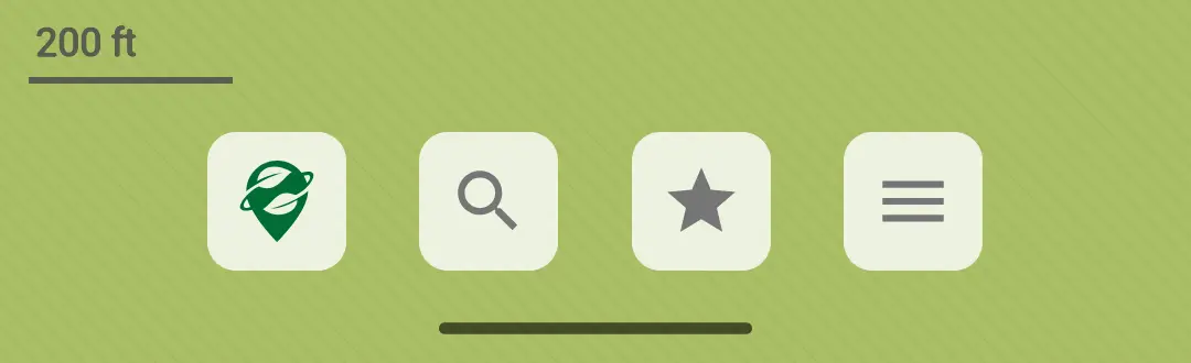
Kind of draws the eye and it’s not exactly a useful button on the main screen
I don’t know I’m afraid. I just don’t click on it myself, but I agree, it’s not a very useful button to display on the main screen all the time.
Edit: Removed comma so that it doesn’t sound like I’m scared. Thanks for correcting my English.
Why are you afraid lol
Just kidding. Bummer but not really a huge deal
FYI, crossposted to !buyeuropean@feddit.uk for wider reach
The non-profit is even moving from the UK to the EU. I think Belgium but I’m not fully sure. As an OSM mapper its good for traffic away from these big players. I personally can recommend Osmand or Organic Maps for navigation
ESRI