- cross-posted to:
- world@quokk.au
- news@lemmy.world
- offbeat@lemmy.ca
- globalnews@lemmy.zip
- cross-posted to:
- world@quokk.au
- news@lemmy.world
- offbeat@lemmy.ca
- globalnews@lemmy.zip
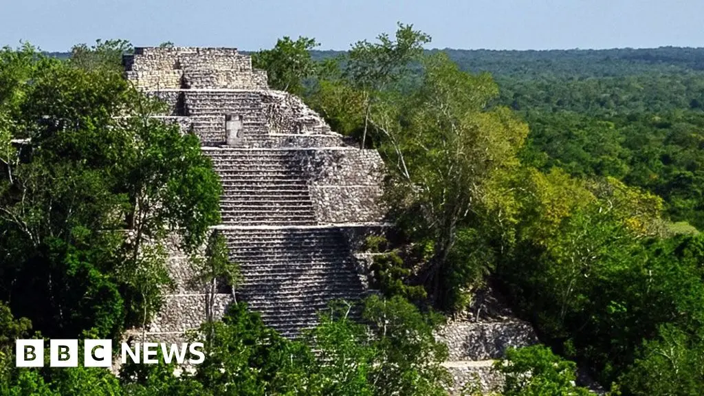
A huge Mayan city has been discovered centuries after it disappeared under jungle canopy in Mexico.
Archaeologists found pyramids, sports fields, causeways connecting districts and amphitheatres in the southeastern state of Campeche.
They found the hidden complex - which they have called Valeriana - using Lidar, a type of radar survey that maps structures buried under vegetation.
They believe it is second in size only to Calakmul, thought to be the largest Mayan site in ancient Latin America.


Being a phd. myself, I would say it seems likely that the person in question wasn’t aware of the research/sweeps that had been done, and was searching through literature with the express purpose of finding out what kind of work had been done on the subject, when they came across this data.
The way I usually find out about a research campaign is by reading articles from said campaign. It’s very rare that I’ll need to reach out to the authors to ask for more data than what is available in their publications.
I’m not sure climate change peeps would necessarily publish the raw lidar map in a way that would be useful for an archeologist.
There’s a lot of data there.