cross-posted from: https://lemmy.bestiver.se/post/176874
Kentucky dispatchers repeatedly told police officers the address of a house they were supposed to raid over an alleged stolen Weed Eater, only for the cops to raid the wrong home and kill the man inside.
But the man who police say admitted to stealing the Weed Eater from a home of a local judge had already been in custody prior to the deadly raid that took place minutes before midnight last month, according to WLEX. That man told police he had stored the stolen Weed Eater at a home at 489 Vanzant Road which is a rural area outside of London city limits.
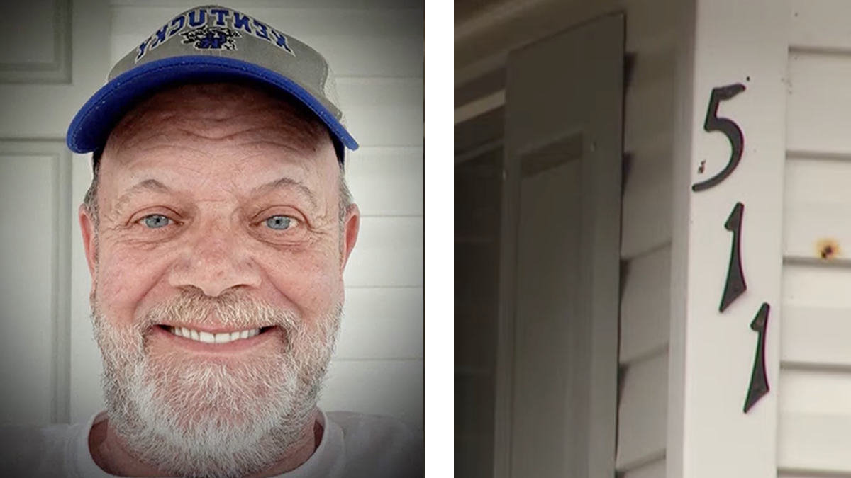
But London police chose to raid a home at 511 Vanzant Road where they shot and killed Douglas Harless, a 63-year-old white man who had nothing to do with the alleged stolen Weed Eater.
Fuck these cops. 2020 memories getting dim already I guess.
Over and fucking Over:
Police: Create deadly situation for someone else to react to, because despite being empowered to use deadly force, they don’t see the need to worry about any kind of rigor or care in their actions since they work in a system that will back them no matter what.
Someone else: Reacts
Police: Use the situation they created as justification to kill the person.
The system: Shrugs.
Police Union: Giggity.
Remember folks: Police exist to protect property and wealth, not people.

I want those body cams.


No clue if it’s like this where this happened, but here in Finland the numbers in rural areas are just “how far your house is from the main road.” So smallroad 42 and smallroad 69 are simply 420 and 690 metres from where smallroad started from mainroad, and can indeed be neighbours.
It’s similar in the US for county roads, or at least in Indiana where I’m from. County Road 100 E is 1 mile east of the road that divides the county vertically (often called Meridian Road) and County Road 350 N is 3.5 miles north of the road that divides the county horizontally (often called Division Road). I also know that in city limits, usually house numbers indicate the block they are on. Any individual block can have 100 addresses. Like one block will have the 300-399 addresses, then the next block will be 400-499 addresses. But I’m not sure how the numbers work in rural areas. I’m not sure if they are divided in blocks similarly or if they also somehow indicate the distance north/south or east/west.
The reason the roads are gridded and numbered like that is to make it easier for emergency services to respond to a given location.