If they’re using Google or other public sources of satellite images, they wouldn’t have up to date pictures. Images of my own house from that are from almost 12 years ago, which makes this even worse because they could be basing decisions on things that no longer exist.

Insurance companies use ariel and satellite photos. So do municipalities to check for unpermited work.
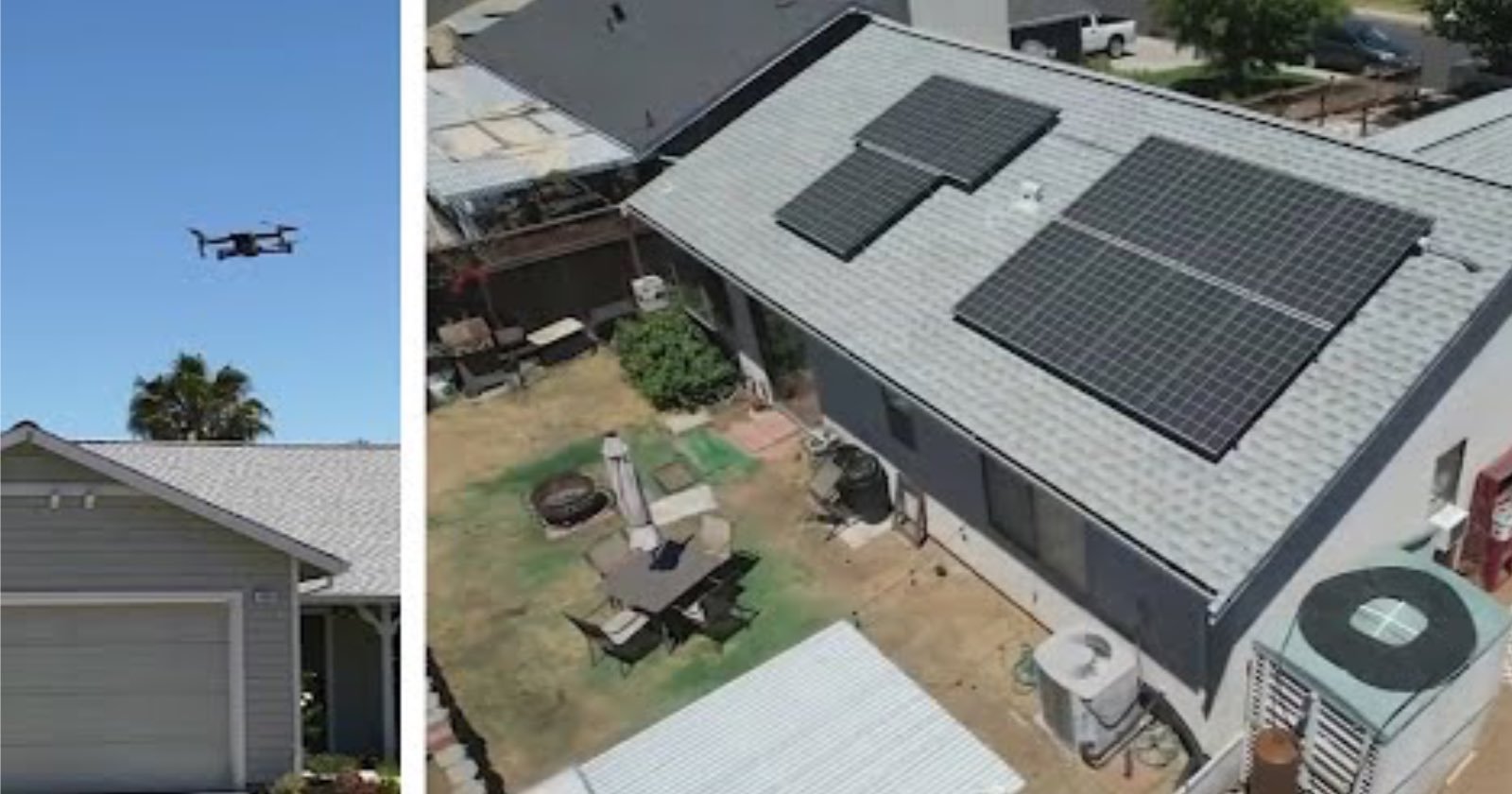
They’re not going to drive out to each customer with a toy drone. They’re essentially using google map satellite view.
Can we stop the hysteria and take a few minutes to think things through?
If they’re using Google or other public sources of satellite images, they wouldn’t have up to date pictures. Images of my own house from that are from almost 12 years ago, which makes this even worse because they could be basing decisions on things that no longer exist.
Private more up-to-date sources aren’t very expensive.
edit: An example