
When I first tried OsmAnd a few years ago it was overwhelming, there is so much to customize.
I tried it again recently and it really impresses me.
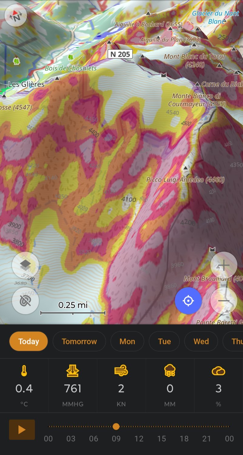
My OsmAnd ski profile shows me slope for avalanche risk and 3D relief so I don’t need Fatmap, plus OsmAnd let’s you download 7days of weather.
OsmAnd doing routing on hiking trails replaces my need for Gaia.
Really impressive work by the OsmAnd team.
Wow, how did you get Osmand to look like this?
Not OP, but this looks like 3D Relief (requires OpenGL render) + Terrain (Avalanche mode) + Contour Lines + Weather Plug-in. My setup is quite similar, and I also have an optional satellite/aerial imagery layer, a Hiking map style, and quick actions set up to toggle all those on or off when I need to declutter the map. AFAIR all require Premium/Plus to use.
Here’s my profile if you want to quickly set it up in your app: https://share.balsoft.ru/OsmAnd-profile-balsoft.osf
You can share profiles?! Sweet thanks.
Oh I didn’t know you could setup quick options.
3D works for me without premium.